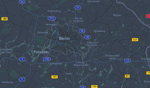
While using Python for GIS development, getting your environment setup can be a challenge in and of itself. In this post, I explain how to alleviate this process using conda and introduce several open-source packages for geo-spatial analysis.
Tagged “python”
Getting started with OpenStreetMap data can be an intimidating process. With so many data formats to choose from, how does one pick the correct one and get started? In this post, I guide you through one possible way to organise and process this data using PostgreSQL and Python.
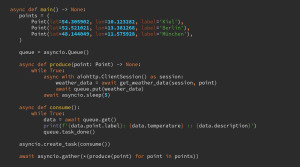
Check out the slides from my recent presentation about asyncio at Python Users Berlin and read an exciting Python related announcement.
Recently, I had the pleasure of speaking at the Python Users Berlin group about the upcoming Pattern Matching feature. Check out this post to get the slides and learn more.
Learn how to use decorators in Python by walking through a practical example using a PostgreSQL database connections.


